Mapping the Unmapped has been supported by the National Lottery Community Fund as part of a programme being coordinated by Alive Activities, a charity dedicated to improving the quality of life of older people and their carers. This intergenerational collaboration has been delivered through Alive’s STANd project; Strength Together Age Network Development.
Intergenerational friendships benefit us all throughout the ages and stages of our lives, bringing joy, laughter, comfort and learning. Alive believe that older people should have access to new intergenerational friendships, creativity and a place to share ideas and a sense of belonging with others.
Through this project, community members across the generations were able to reminisce on memories throughout time and place, connect with others and discuss changes in their local area over the years. Connecting with people of all ages through map making contributes to community expression, place-making and creates shared experiences, raising the voices of younger and older people in their locality and beyond.
Read our PROJECT REPORT here.
Inspired by Irish playwright, Brian Friel’s play Translations – a 19th century story set in rural Ireland, that charts the impact of the British army as they descend on a fictitious town near Donegal to map the area.
Friel once claimed the play “is about language and only language.” In creating this colonial Ordnance Survey, they anglicised the placenames, disregarding all the cultural heritage captured within the original Irish names.
Friel said that his play “should have been written in Irish.”
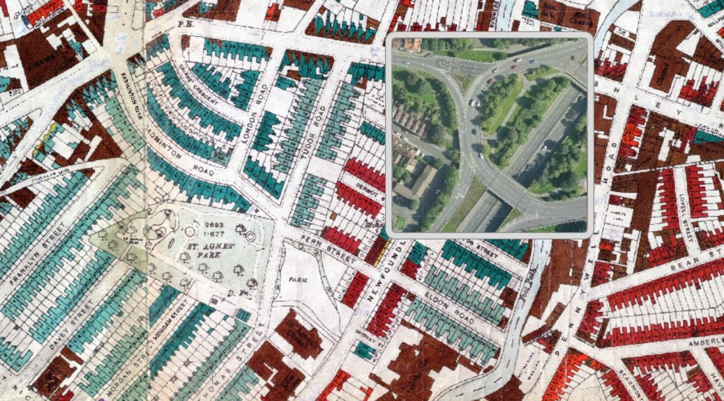
This project brought Bristolians of all ages together to map our local placenames for future generations; The Donkey Park (that may have only seen a donkey once in living memory), The Diddly Dumps (a favourite play area that was essentially a rubbish tip post WW2) and slightly more familiar names that don’t appear on any map such as The Gossie (a stream in Speedwell), The Cups and Saucers (a local name for the Purdown telecommunications tower) and even Turbo Island. People continue to refer to The Fountains opposite Bristol Hippodrome despite them now being permanently covered over.
How many of these names have persisted through the generations?
Working with local artists, we held a series of events with elders and younger people to share perceptions of recent and long remembered childhood landmarks and the unofficial names that local people have for places to inform an illustrated community map.
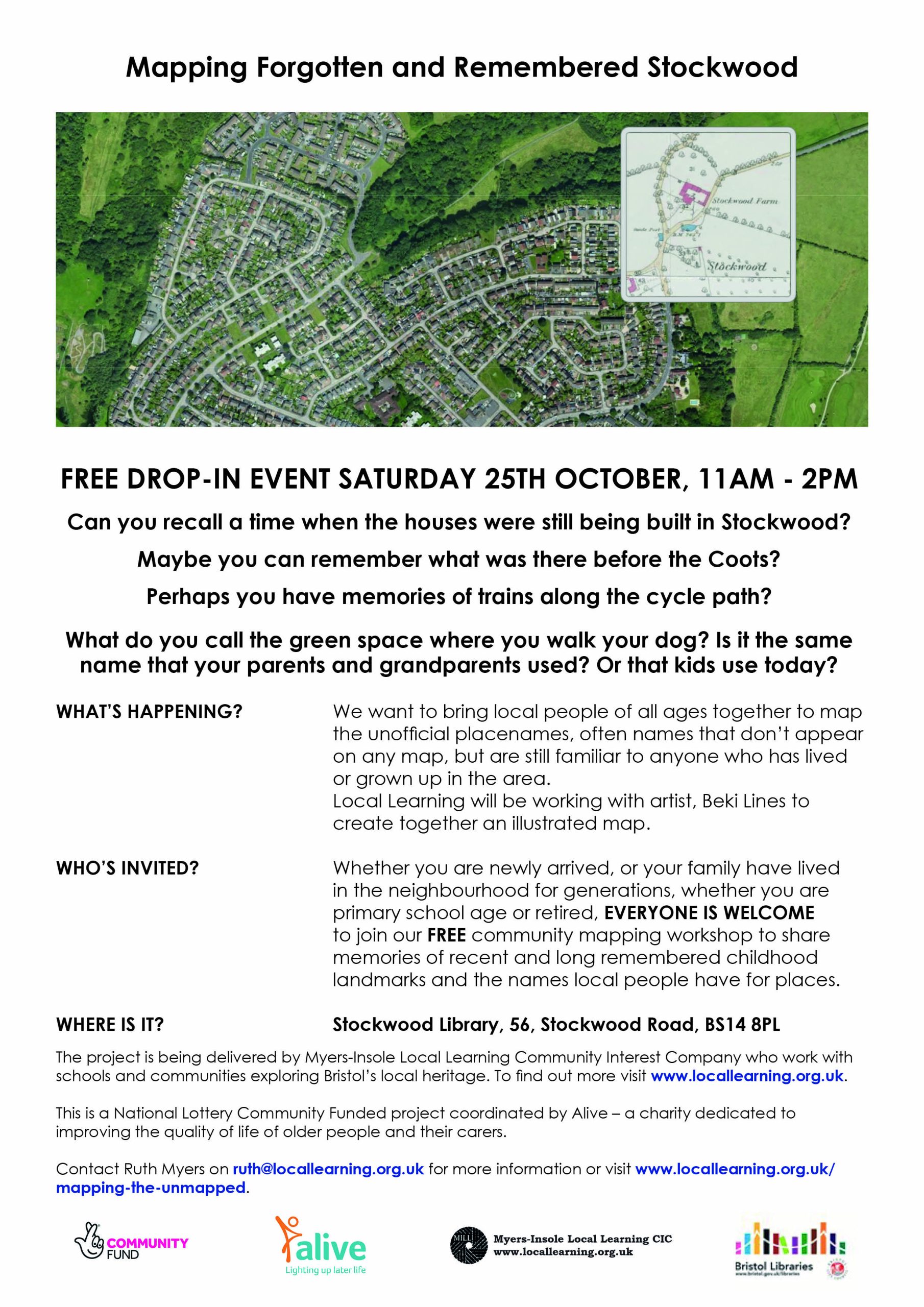


- SATURDAY 25th OCTOBER, 11am to 2pm, Stockwood Library – intergenerational community mapping event with artist, Beki Lines
- SATURDAY 8th NOVEMBER, 11am to 2pm, St Pauls Library – intergenerational community mapping event with artist, Dr Michele Curtis. This is a BSL interpreted event.
- And on SATURDAY 15th NOVEMBER, everyone from across the city is invited to a final drop-in event at Sparks (the old Marks and Spencers, Broadmead) to work with our artists to map meaningful landmarks and unofficial names for the city centre and beyond, contributing towards our ultimate ambition of a Bristol Atlas. This is a BSL interpreted event.
Mapping and memory activities in Stockwood at the monthly market, Haberfield House and Stockwood Library
Community sharing memories event at St Pauls Library
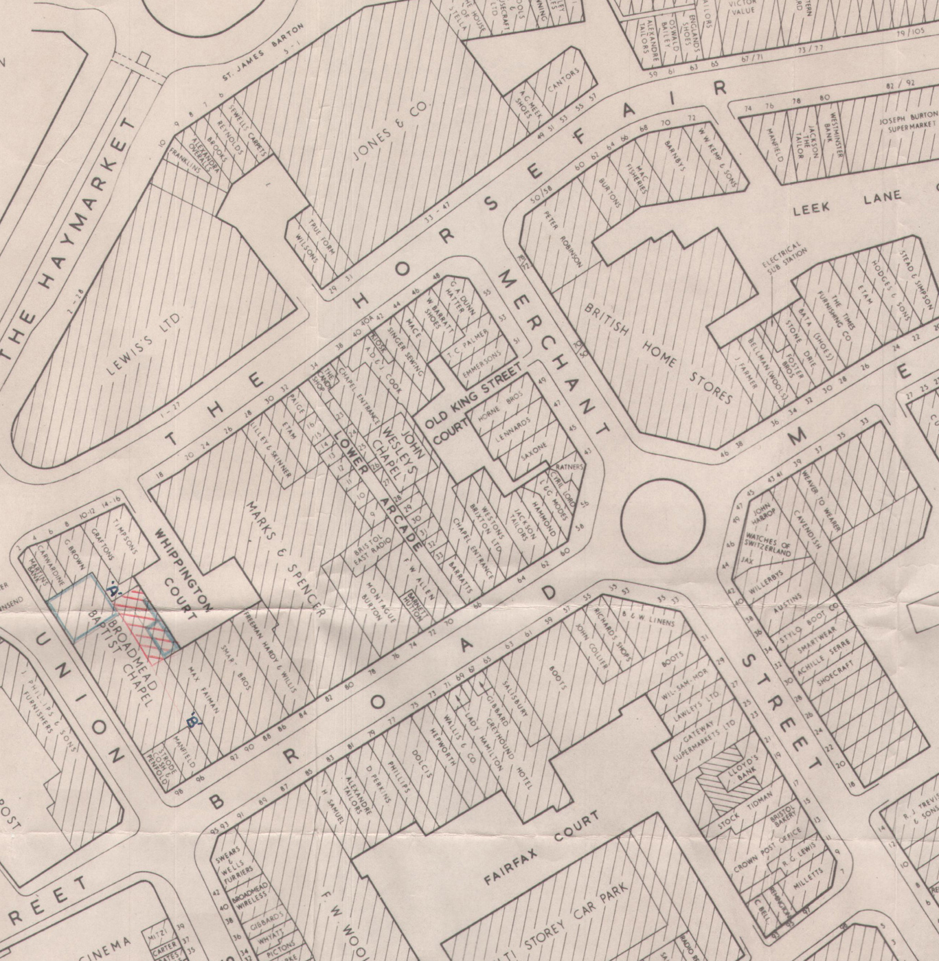
1962 map of Broadmead