Category Archives: 07 Georgian

Montpelier and St Pauls

Inside Out

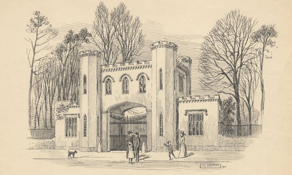
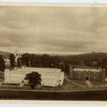
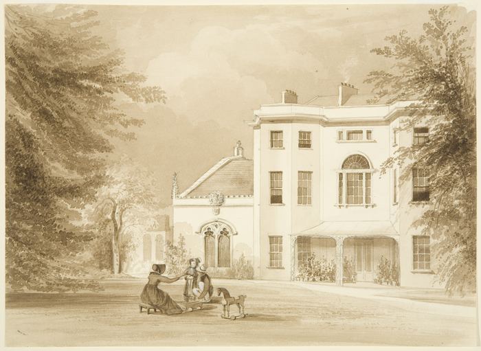
Montpelier originated as a suburb of Bristol in the 18th century with detached villas set on the Ashley Down hillside overlooking the Cutlers Mill Brook. This setting was considered reminiscent of Montpellier in France.

As Bristol expanded in the Victorian period, this leafy suburb was infilled by the streets of terraced housing that we see today.

In 2016, Local Learning secured funding from Knightstone Housing Association to explore the history of this neighbourhood with the community.

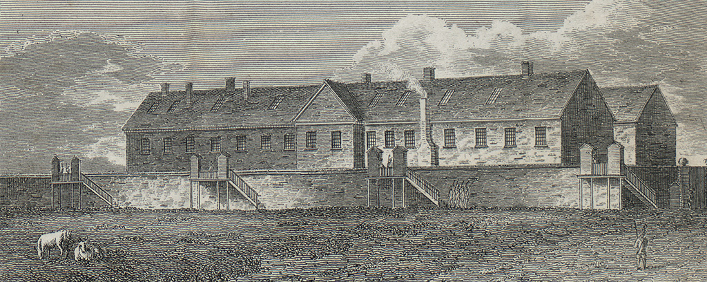
Members of the community shared their memories of the area with media producer, Tot Foster providing insights into Albany Green, initial impressions of the area for people arriving here from Jamaica in the 1950s and 60s, the creation of one of Bristol’s first mosques on Lower Cheltenham Place and how it will be missed when it eventually moves to Sevier Street.

house
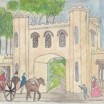
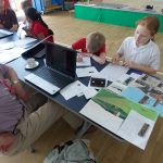
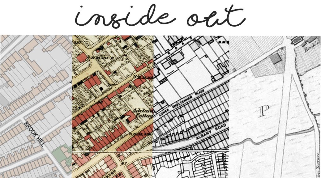
Using research from Bristol Record Office and people’s memories of the area, local residents will create art work conveying the history of the houses near Rosa Parks Lane – of the buildings that still exist today and those that have disappeared a long time ago.

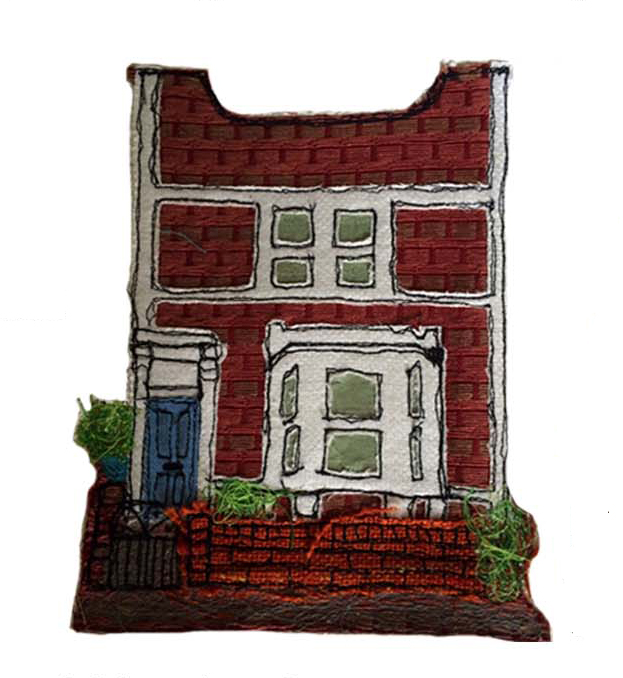
Using textiles, local artist, Carmen Garaghon will be running workshops at St Pauls Learning Centre to help people to produce images that show something about the history of both the inside and outside of their houses.

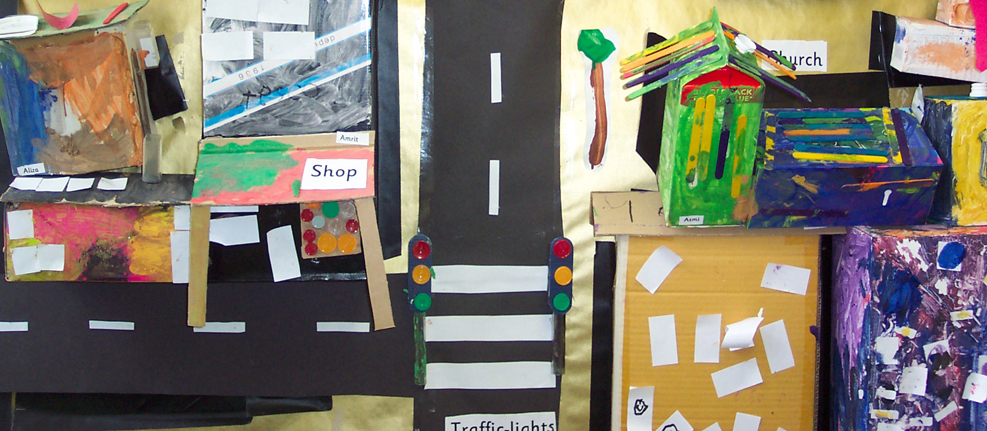
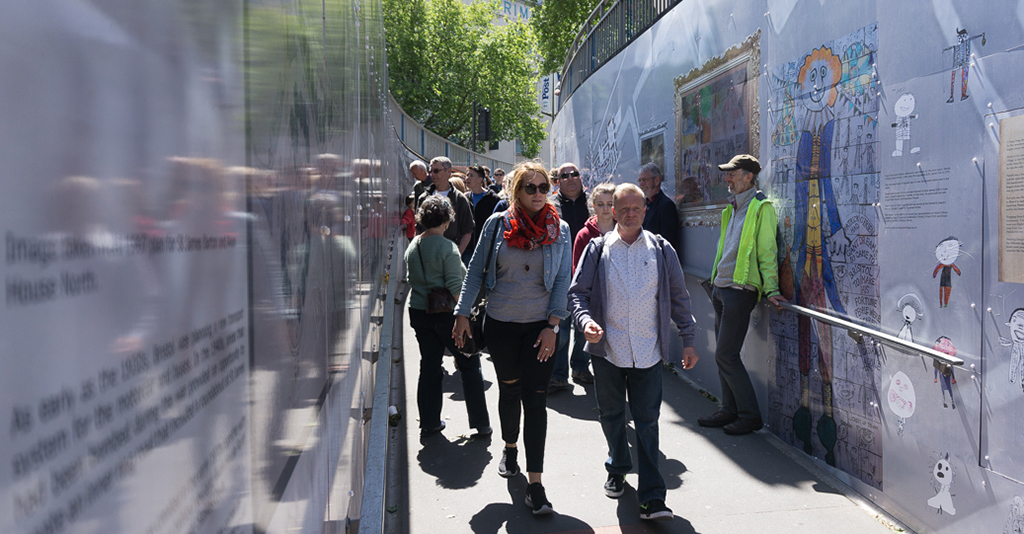
The final pieces have been photographed and printed on to anti graffiti material to go on permanent display on the fences running along the lane alongside similar works that will be produced by pupils from St Barnabas Primary School.

Bower Ashton

Project menu (click the images below)

www.ashtongatehouse.org

Film created by Tot Foster for the Ashton Gatehouse project

For more than five centuries Ashton Court and the Smyth family who lived there dominated the area of South Bristol. The industrial revolution brought new wealth to the Smyths. By the end of the 1700s, the coal mines on their lands across Bedminster provided a significant addition to the estate’s income. John Hugh Smyth commissioned the famous landscape gardener, Humphry Repton, to redesign the grounds of Ashton Court.

John Hugh Smyth died in 1802 and the estate went to his nephew, Hugh Smyth who perhaps did not share the same vision as his uncle. As a result, Repton’s ideas were only partially realised. Repton designed a route to enter the estate via a proposed gatehouse, taking carriages all around the estate, affording visitors tantalising glimpses of the mansion whilst impressing upon the visitors the sheer size of the estate.

Esme, the last of the Ashton Court Smyths died in 1946. Ashton Court Estate then became the property of Bristol City Council. Ashton Park School was founded on part of the estate in 1955 as one of the secondary modern alternatives to the grammar system.

In 2015 Local Learning were employed by the Bristol Building Preservation Trust to deliver an education activity plan as part of a Heritage Lottery funded project to restore the Ashton Gatehouse; the main entrance to the estate originally proposed by Repton. Local Learning have been working with Ashton Park Secondary School and its partner primary schools to explore the history of the gatehouse.

Year 8 at Ashton Park School undertaking a geophysical survey with Archeoscan

Year 8 students from Ashton Park and members of the public worked with Archeoscan geophys team to identify the extent to which the original driveway from the lodge to the mansion remains beneath the school’s playing fields, Year 9 worked on reproducing a replica Red Book with beautiful detailed watercolour illustrations of Repton’s proposals. Year 10 GCSE drama worked with theatre company, Show of Strength, who specialise in true local stories set in unusual places, to devise a play that delved into history to reveal some of the hidden stories of the area. The roaming drama took the audience from Ashton Gatehouse to Ashton Court in what early landscape gardeners might have referred to as ‘peeps and bursts’.

Ashton Vale Primary School undertook an Our Place and local memories project to inform a wayfinding signs for the Gatehouse and populate the community layer on Know Your Place.

Ashton Gate Primary School explored the Bristol’s International Exhibition of 1914 (locally known as the White City) at Bristol Record Office with local historian Clive Burlton and created their own White City using Minecraft.

Brislington

With beautiful views to Bristol on the road to Bath, Brislington was the place to escape the smelly docks at the beginning of the 1800s. Several houses for wealthy merchants were built along the valley of the Brislington Brook. One of these was the home of George Braikenridge, a fanatical collector of art and antiquities. In the 1820s and 30s he commissioned several artists to record the sites of Bristol and Brislington in watercolours creating one of the city’s best art collections and a valuable historical resource.

As part of the Heritage Schools initiative Local Learning worked with West Town Lane Primary School, visiting the surviving sites of Georgian Brislington. The children became 1820s estate agents promoting the area to prospective wealthy merchants looking to escape to the countryside.

Fishponds

The medieval village of Fishponds was an area rich in pennant sandstone, a popular building material in Bristol. It is widely believed that the flooded quarries, that formed large ponds, lent their name to the area.

On the outskirts of Fishponds, a French prison was built (top image) to accommodate soldiers from the Napoleonic Wars. This building later became a workhouse and eventually Blackberry Hill Hospital.

A lunatic asylum was built as an extension to the workhouse in 1861. This later became Stapleton Hospital and then Glenside. It is now part of University of the West of England.

Given the sensitive nature of much of the history of this area, as part of a Local Learning Heritage Schools event delivered across the whole of Year 7 at Bristol Met, we felt that it was important to first address the language and labels that have been used historically to refer to different members of our society. With reference to primary sources, students learned to appreciate how changing attitudes are reflected in our language and produced a series of plays highlighting these linguistic issues.

http://www.glensidemuseum.org.uk/

Stokes Croft

www.bearpitheritage.org.uk

Victorian resources (these were created for St Michael-on-the-Mount Primary School, but contain generic content that can be applied elsewhere).

Stokes Croft is one of the oldest routes in to Bristol. It will have originated as a track between fields certainly by about 1000 years ago if not earlier. By the 1100s it was probably being regularly used by travellers coming to markets in Bristol, particularly St James’s Fair.

The route became the boundary of the new parish of St Pauls as the city’s population increased. This invisible line runs right through what is known locally as the Bearpit, indicating the parish boundary between St Pauls and St James.

The Bearpit Heritage launch event, 2015

With funding from Heritage Lottery, Bristol City Council and Historic England, Local Learning have worked with a number of primary and secondary schools, colleges and the wider community on a variety of long term projects. Our activities covered the area’s 1000 year history, ranging from Year 3 students’ graphic novel, piecing together the story of one of the monks buried with a jet amulet at St James’ Priory to City of Bristol Art and Design students’ architectural drawings of Avon House North that bridges Stokes Croft like a concrete gate to the city.

http://www.locallearning.org.uk/stokescroftmenu.html